Big Bend National Park: 3-Day Itinerary
Plan with current information. Conditions, roads, services, fees, and rules can change. Verify details with the National Park Service before your visit.
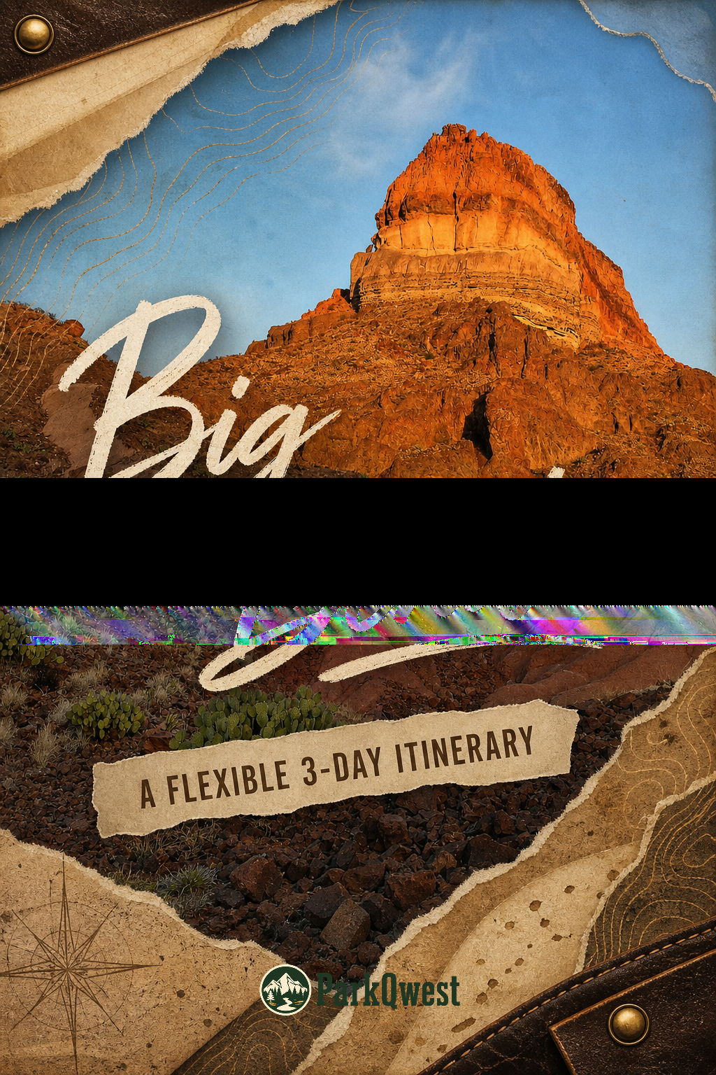
Big Bend National Park is not a park to “see on the way through.” It is a long-distance, desert-scale trip where the right plan protects your energy as much as it helps you see more. This three-day itinerary divides the park into sensible zones: a first day for orientation and low-commitment desert exploring, a second for the cooler Chisos Mountains, and a third for the river-and-canyon landscape that gives Big Bend its name. It is intentionally flexible: road conditions, heat, storms, closures, and your starting point can change the best version of any day.
Quick take
Plan by landscape, not by a checklist of stops. Big Bend’s desert, mountain, and river areas feel like separate outings, and the distances between them are substantial. Give each one its own day rather than repeatedly crossing the park.
Before Day 1: Set up the trip for success
Fuel, food, water, and daylight are your real itinerary anchors. The National Park Service specifically notes that distances between towns and services are considerable. Arrive with more water and food than you expect to need, a full tank of gas, and enough margin that a changed plan does not turn into a stressful drive after dark.
Big Bend sits in the Chihuahuan Desert, where sunshine is abundant all year. In the hotter stretch from May through August, desert temperatures are usually above 100°F by late morning; the Chisos Mountains can be 10–15 degrees cooler. That temperature difference is the basic logic behind this itinerary: use low elevations early and late, and reserve the mountains for the day when you want the longest active outing.
- Spring travelers: March is typically warm and pleasant, but it is also the park’s busiest season. Start earlier than you think necessary and build in extra patience around trailheads, viewpoints, and visitor services.
- Summer travelers: Treat midday as a rest period, not an opportunity to “push through” one more desert walk. Shift your longest walking window to the mountains or to early morning.
- Fall and winter travelers: Mild days can be excellent for longer outings, but freezing conditions can occur. Carry layers even if the forecast at lower elevation looks comfortable.
- EV drivers: There are no electric-vehicle charging stations in Big Bend National Park; NPS says the closest charging station is 130 miles away in Fort Stockton. Build your charging plan before entering the region.
Day 1: Desert orientation, scenic pauses, and an unhurried first evening
Purpose: Learn the scale of Big Bend without committing your first day to a difficult or heat-exposed objective. This is the day to collect current information, get comfortable with the roads you will use, and let the desert landscape set the pace.
Morning: Get current conditions, then choose one short desert-focused outing
Begin at the park’s visitor information facilities or consult the official NPS page before leaving your lodging. Ask about road status, heat advisories, trail conditions, closures, recent storms, and river conditions. Those changing details matter more here than a prewritten route, especially if you are considering any unpaved road or an outing that depends on access near the Rio Grande.
Afterward, choose one short-to-moderate walk or scenic-stop sequence in the desert, rather than trying to cover the entire park’s low-elevation terrain. Look for a route appropriate to the season, your water supply, and the daylight remaining. The goal is to understand the Chihuahuan Desert’s open scale, cactus-studded ground, and weathered geology while your legs are still fresh for the days ahead.
Afternoon: Drive less, recover more
In warm weather, make this your deliberately quiet block. Eat a real lunch somewhere shaded or indoors if available, refill every water container, and take a break during the hottest part of the day. Big Bend is a better trip when you resist turning every daylight hour into mileage.
If temperatures are comfortable, use the afternoon for a few carefully chosen pull-offs or a second very short walk. Avoid building a plan around exact drive times: conditions, road surfaces, photo stops, traffic, and the sheer scale of the park all make rigid timing less useful than it seems.
Evening: Make darkness part of the plan
Save your longest pause for after sunset. NPS describes Big Bend’s night skies as “dark as coal,” and this is one of the park’s defining experiences. Choose a legal, safe place near your overnight base or another approved location, bring a warm layer in cooler months, and let your eyes adjust instead of immediately reaching for bright screens.
Eat dinner before the sky show rather than driving around hungry afterward. Pack simple food that does not require a last-minute search for services, and lay out the next day’s mountain layers, snacks, and water before going to bed.
Alternate for heat, wind, or a closure
If exposure is already uncomfortable by midmorning, convert Day 1 into a conditions-and-viewpoints day. Spend less time on foot, prioritize current ranger guidance and educational exhibits where available, take a longer midday rest, and preserve your energy for a cooler mountain outing on Day 2.
Desert pacing rule
If you are rationing water, hurrying to beat the heat, or starting a walk late in the day, the plan is too ambitious. Big Bend rewards early starts and short, intentional desert outings far more than midday endurance contests.
Day 2: The Chisos Mountains for your biggest active day
Purpose: Use the park’s higher, generally cooler mountain environment for your longest hike or most sustained outdoor block. The Chisos Mountains are an especially useful contrast after Day 1: instead of broad desert horizons, this day centers on elevation, changing light, and the solitary mountain range rising from the surrounding desert.
Morning: Start with the hike that matches your actual fitness
Leave early with a full water supply, food, sun protection, and layers. Choose a signed mountain trail or walking route only after checking its current status on the official NPS page or in the park. Do not pick solely by popularity: assess elevation gain, exposure, footing, turnaround time, and how much energy you want left for tomorrow.
A smart target is a half-day mountain outing that lets you move steadily without needing to rush. Turn around with plenty of daylight and water in reserve. This is not the day to stack multiple strenuous routes simply because mountain air feels more forgiving than the desert floor.
Afternoon: Recover at elevation, then choose a low-effort second act
After your hike, eat a substantial lunch and give yourself a real recovery window. If you are visiting in summer, this is a good place to spend the warmest part of the day because the mountains may be cooler than the desert, though they are not automatically cool or storm-free.
For the second act, choose one: a short interpretive walk, a scenic drive if roads are open, birdwatching from a settled spot, or simply time at camp or lodging. NPS notes that hundreds of bird species take refuge in this solitary mountain range, but treat wildlife sightings as a possibility, not a promise.
Evening: Early dinner and a practical reset
Keep dinner easy tonight. Your feet, shoulders, and attention will be better served by an early meal and a check of tomorrow’s access conditions than by another ambitious outing. Refill water, inspect footwear, charge essential devices, and confirm whether the river-area route you want is open and appropriate.
Alternate for mountain weather or trail closures
If clouds, wind, lightning risk, cold, or closures make the mountains a poor choice, swap this with a desert scenic day using short, low-commitment stops. Avoid exposed terrain during thunderstorms, and do not assume the desert is the safer option if flash-flood conditions are possible. Ask NPS staff which accessible areas best fit the day’s conditions.
Day 3: River country, canyon scale, and a calm exit plan
Purpose: End with the landscape that makes Big Bend feel most unlike the rest of Texas: the Rio Grande cutting through limestone canyons along the international border. This is a visual, slower-paced day, best handled with enough time to absorb views rather than race between distant points.
Morning: Go to the river side first
Start early and head toward the park area you have confirmed offers the best current access to river or canyon scenery. The NPS description points to rivers carving temple-like canyons in ancient limestone; plan to experience that contrast from established overlooks, short walks, or other open access points rather than assuming every route is usable.
Bring more drinking water than the outing seems to require. Canyon walls and river-adjacent scenery can make a place feel cooler than it is, while desert heat and sun exposure still accumulate quickly.
Afternoon: Choose between a second viewpoint or an earlier departure
After lunch, make an honest choice. If you have energy, weather is stable, and your return drive is short, add one more modest scenic stop. If you are leaving the region that day or face a long drive toward Marathon, Alpine, Study Butte, Presidio, or another gateway community, use the afternoon to begin that drive well before dark.
The better final-day plan is often the one with fewer stops. Big Bend’s access roads and remote setting are part of the experience, but they also mean a departure day can become tiring fast. Do not finish by gambling on fuel, food, or daylight.
Evening: Leave with a buffer, not a scramble
Before crossing out of the park, top up supplies where practical and confirm your route. NPS lists approaches via TX 118, FM 170, US 90, and US 385, but conditions and your destination should determine the route you actually use. Keep your final evening simple: a meal, a water refill, and time to look back at the desert rather than one last rushed detour.
Alternate for river-area closures or poor conditions
If river access, canyon roads, or weather make this zone impractical, use Day 3 as a repeat-the-best-conditions day. Return to the mountain or desert area that had the better weather and open routes, but choose a gentler activity than the previous day. A second quiet desert sunset or a shorter mountain walk is a better ending than forcing an inaccessible river plan.
Three days will not make Big Bend small—and that is the point. This itinerary leaves room for the park’s actual conditions while giving each of its defining worlds its own time: desert sun, mountain relief, and the limestone canyon country shaped by the Rio Grande.
Before you go
- Review official alerts, closures, hours, and reservation requirements.
- Allow extra travel time and keep an alternate plan.
- Use official NPS information as the final authority.
Sources
- Big Bend National Park — official National Park Service site — National Park Service, accessed 2026-10-07
Continue planning Big Bend
Learn more about Big Bend and find other helpful guides, trails, and trip information in the ParkQwest guide.
ParkQwest is a QwestLyfe Community.
QwestLyfe helps you track your lifelong bucket lists, collections, recipes, and the places you've been. Document your experiences, add notes and pictures, and share them with your friends — and the world.