
Guadalupe Mountains National Park: First-Trip Guide
Plan with current information. Conditions, roads, services, fees, and rules can change. Verify details with the National Park Service before your visit.
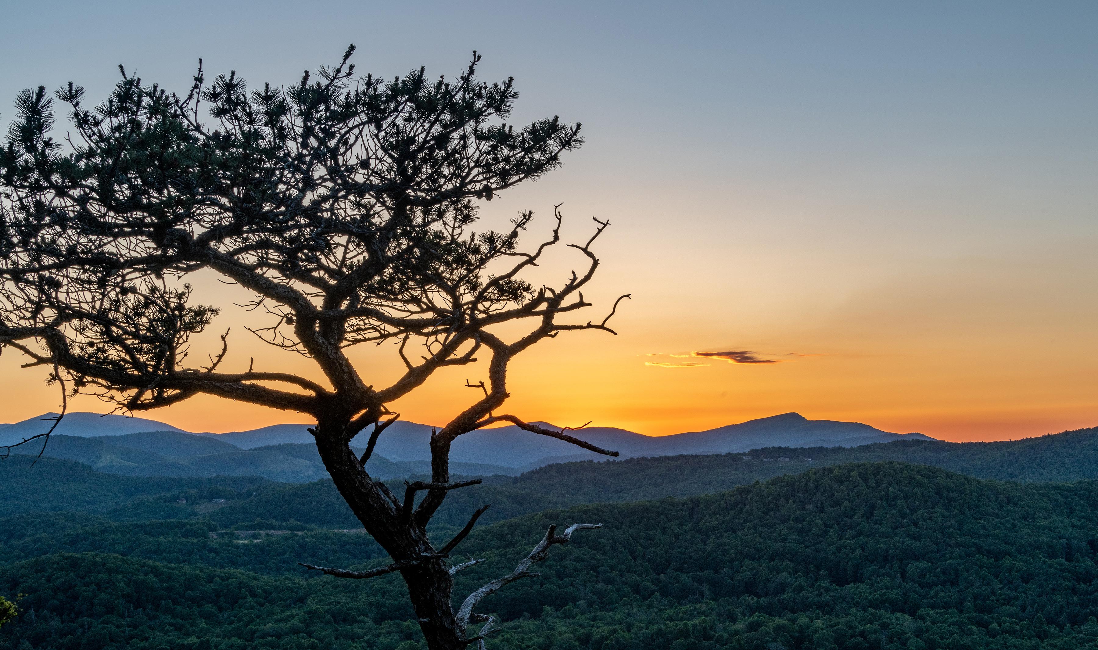
Guadalupe Mountains National Park is not a park you “drive through” and understand. Its first impression can be deceptively spare: a remote highway approach, a desert foreground, and a mountain wall that rises abruptly from the Chihuahuan Desert. Give it a little time, though, and the park’s logic comes into focus. This is a place to look up at Texas’s highest peaks, walk into canyons and higher-elevation country, notice the fossil reef written into the rock, and stay late enough to appreciate why the night sky is part of the experience. For a first visit, the goal is not to cover every corner; it is to choose one memorable hike or landscape experience, leave room for orientation, and plan around wind, distance, and daylight.
Why this park feels different from the rest of Texas
The scale change is the point. Guadalupe Mountains National Park protects the world’s most extensive Permian fossil reef, but this is not a museum-style geology stop where the story stays on a signboard. The reef is the landscape: cliffs, ridges, canyons, and exposed layers that make the mountains feel unusually rugged and vertical for Texas.
The park also holds the four highest peaks in Texas, along with a striking mix of desert, dunes, mountain terrain, and higher-elevation plant communities. That variety makes a first visit feel bigger than the map may suggest. A short outing can still involve real elevation, sun exposure, wind, uneven ground, and a noticeably cooler temperature once you climb above the headquarters area.
Quick take
Treat Guadalupe Mountains as a hiking-and-landscape park with a strong geology story, not a roadside scenic stop. Your best first day usually has one main outdoor objective, a second smaller stop or walk, and enough margin to enjoy the changing light rather than rushing back onto the highway.
Start with the map, not the mileage
Pine Springs Visitor Center is the practical first stop for most first-time visitors. The park sits on the north side of US Highway 62/180. From El Paso, the park is about 110 miles east; visitors coming from Van Horn approach via US 54 and the US 62/180 junction, while visitors from Carlsbad travel south on US 62/180 and cross into Texas.
Those approach distances matter because the park is remote. A late start from a larger city can turn a “full day in the park” into a few hurried hours, especially once you account for fuel stops, food, changing weather, and the time needed to choose a route. Arrive early enough to orient yourself before committing to a hike.
Use the visitor center to make three decisions
- Choose a realistic route: Ask which walks or hikes match your available time, fitness, footwear, and comfort with elevation. Trail conditions, closures, and route recommendations can change, so verify current information on the official NPS page or in person.
- Check the wind forecast: High winds are normal here, not an unusual inconvenience. Gusts can reach 60 mph or more year-round, and they can change the comfort and safety of exposed terrain quickly.
- Set a turnaround time: Decide when you will head back before you begin. This is especially useful if you want to remain for late-afternoon views or night-sky viewing without extending a hike into darkness.
Do not assume the temperature at the trailhead tells the whole story. Above 8,000 feet, temperatures can be about 10°F cooler than at headquarters, with added wind-chill. In other words, a warm-looking desert morning can become a surprisingly cold, windy mountain outing.
Build your first visit around one signature experience
The most satisfying first trip usually has a clear centerpiece. Rather than trying to chase every viewpoint, canyon, and geological feature, pick the experience that best matches what you came for.
| If you want… | Make this your priority | The tradeoff |
|---|---|---|
| A classic mountain day | A route with sustained climbing and broad views | More time, more energy, and greater exposure to wind |
| Geology and landscape context | A shorter walk plus time to study the surrounding rock formations | Less distance covered, but a stronger sense of what you are seeing |
| A lower-commitment first visit | A shorter outing, scenic stops, and an unhurried visitor-center orientation | You will not reach as deeply into the mountain terrain |
For most first-timers, a moderate ambition level is the smart choice. Choose a route that leaves you enough energy to look around, read the landscape, and handle a headwind on the return. The park’s reward is not only the destination; it is the gradual shift from desert basin to mountain terrain and the sense of exposure that comes with it.
If a longer hike is your main reason for coming, make that the day’s only major commitment. Start with current NPS route information, be honest about how much climbing and time you want, and do not stack a demanding hike with a long same-day drive from El Paso, Van Horn, or Carlsbad unless you are comfortable with a very long day.
Where to base yourself: choose convenience over cleverness
Your overnight base should support an early start and a calm finish, not add another complicated drive. El Paso, Van Horn, and Carlsbad are useful reference points because they are the major approach directions identified by the National Park Service, but each involves a meaningful drive to the park. If you are visiting for just one full day, compare lodging and camping options near your planned approach and confirm current availability, reservations, and services before booking.
There is no universal “best” base because the right answer depends on your next destination. Travelers continuing toward Carlsbad may prefer a west-side approach; those coming from or returning toward El Paso may accept the longer drive in exchange for a larger-city overnight. What matters most is avoiding a plan that puts your first trail decision after several hours behind the wheel.
Quick take
A first visit works best when the park gets your freshest hours. If you must drive a long distance on the same day, choose a shorter park objective and save the big hike for a morning when you can begin from the visitor center area.
Common first-trip mistakes—and the better move
- Underestimating wind: Do not treat a windy forecast as background noise. Wind affects comfort, footing, exposed ridges, and how quickly you cool down after stopping.
- Planning by road distance alone: A route that looks short on a map may take more time than expected once terrain, elevation, and photo stops enter the picture. Build the day around hours, not just miles.
- Trying to “do the whole park”: The park’s varied environments invite overplanning. A single well-chosen hike or walk is more memorable than a string of rushed stops.
- Ignoring the temperature swing: From May through October, headquarters-area highs can range from 80°F to above 100°F, while lows can fall into the 40s or 60s. From November through April, highs are generally milder, but lows can reach the 30s or 50s; higher elevations are cooler still.
- Leaving night skies as an afterthought: If clear conditions and your plans allow, preserve some evening time. The park specifically highlights its night skies, and darkness arrives quickly when your day is built around a long hike and a long drive.
A practical first-day rhythm
- Arrive at Pine Springs in the morning: Review current conditions, select one primary route, and confirm how wind and temperature will affect that choice.
- Complete your main outdoor experience before the middle of the day: Give yourself permission to turn around early if wind, heat, fatigue, or timing makes the original plan less sensible.
- Pause after the hike: This is the moment to slow down and connect the terrain to the park’s larger story—the Permian reef, the desert setting, and the sharp rise into Texas’s highest country.
- Add one smaller scenic or interpretive stop: Use current NPS information to choose an option that fits the remaining daylight rather than beginning another ambitious outing.
- Stay for late light if it fits your travel plan: The mountains and desert are often most legible when shadows deepen, and it is a natural bridge into an evening under the park’s dark skies.
The best first visit to Guadalupe Mountains National Park leaves you wanting a second one. That is not a failure to cover ground; it is the right response to a park built on vertical relief, long approaches, changing conditions, and a landscape with more depth than a single day can absorb.
Before you go
- Review official alerts, closures, hours, and reservation requirements.
- Allow extra travel time and keep an alternate plan.
- Use official NPS information as the final authority.
Sources
- Guadalupe Mountains National Park — official National Park Service site — National Park Service, accessed 2026-10-15
Continue planning Guadalupe Mountains
Learn more about Guadalupe Mountains and find other helpful guides, trails, and trip information in the ParkQwest guide.
ParkQwest is a QwestLyfe Community.
QwestLyfe helps you track your lifelong bucket lists, collections, recipes, and the places you've been. Document your experiences, add notes and pictures, and share them with your friends — and the world.