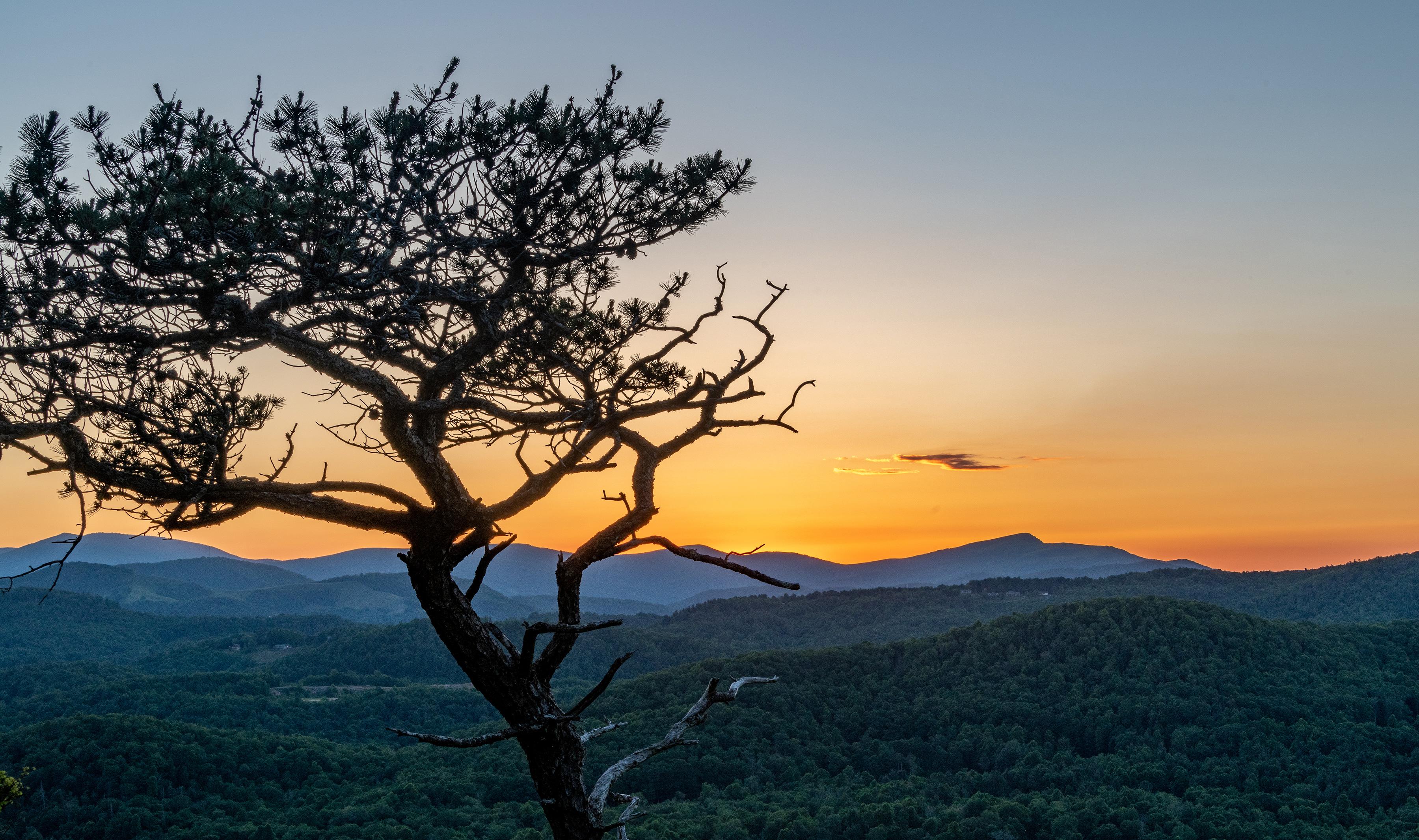

Zion National Park: Easy Trails & Scenic Stops
Plan with current information. Conditions, roads, services, fees, and rules can change. Verify details with the National Park Service before your visit.

Zion National Park can work beautifully as a low-effort scenic day—provided you plan around the park’s transportation pattern, temperature swings, and the difference between “short” and “easy.” The main Zion Canyon area near Springdale concentrates many of the park’s most recognizable sandstone walls, developed facilities, and popular stops, but for most of the year the Zion Canyon Scenic Drive is open only to shuttle buses. Treat the shuttle as part of the experience rather than an obstacle: it lets you trade parking stress for a sequence of viewpoints, short walks, and shaded rest breaks.
This is not a park where the best relaxed day necessarily means checking off the most stops. Zion’s cream, pink, and red cliffs are visible from developed areas as well as trail corridors, and a smart easygoing itinerary leaves room to look up, sit down, refill water, and change plans when heat, storms, crowds, or energy levels call for it.
Quick take
For a lower-effort Zion day, base your choices on the shuttle route and developed areas in Zion Canyon. Pick two or three short-walk opportunities, not an all-day list, and build in a seated break before the hottest part of the day.
Start With the Zion Canyon Strategy
The South Entrance near Springdale is the practical starting point for many easy-going visits. It is close to the Zion Canyon Visitor Center, where visitors can board the shuttle for the Zion Canyon Scenic Drive during the periods when private vehicles are not allowed on that road. The park can also be reached through the East Entrance, west of Mt. Carmel Junction, but the South Entrance area is the more natural choice when your goal is a shuttle-based canyon day.
Think of the day in two layers. First, use the visitor center area to orient yourself, confirm current transportation and weather information, and handle the basics while facilities are nearby. Then ride the shuttle into Zion Canyon, getting off only where a stop has a realistic payoff for your group: a view, a very short stroll, a riverside pause, or a chance to experience the canyon walls without committing to a demanding hike.
Why the shuttle approach is easier than it sounds
- It reduces driving pressure: You do not need to navigate a popular canyon road or repeatedly search for parking at every scenic stop.
- It creates natural rest intervals: Sitting between stops can make several modest walks feel more manageable than one continuous outing.
- It gives you an exit strategy: If a route feels steeper, hotter, rougher, or busier than expected, return to the shuttle stop rather than pushing through.
- It supports a “view first” mindset: Zion’s vertical scenery is often the main event. A stop does not need to include a long hike to be worthwhile.
Check the official NPS Zion page shortly before your visit for the current shuttle schedule and road access. Transportation operations, temporary closures, weather responses, and seasonal procedures are changing conditions—not details to assume from an old saved itinerary.
How to Judge Whether a Short Walk Is Actually Easy
A map may describe a route as short, but distance alone is a poor predictor of comfort in Zion. The bigger questions are grade, surface, stairs, exposure to sun, elevation change, crowding, and whether you can turn around easily. Before leaving a shuttle stop or developed area, take a minute to assess the beginning of the route instead of assuming it stays the same.
Use this five-part trail screen
- Grade: Look beyond total distance. A steady uphill slope can be more tiring than a longer level path, especially in heat or at higher elevation. If the first section is already working your breathing, it is reasonable to make that your turnaround point.
- Surface: Pavement, packed dirt, sand, loose gravel, uneven rock, and wet ground require very different effort and footwear. A smooth-looking route can become more demanding after rain or in sandy sections.
- Stairs and edges: Stairs may be manageable for some travelers and a hard stop for others. Ask about stair counts, handrails, narrow passages, and drop-offs at the visitor center or through current official trip-planning information.
- Shade: Canyon walls can create welcome shade, but it may be intermittent and shift quickly during the day. Do not equate dramatic canyon scenery with all-day cool conditions.
- Elevation and exposure: Zion’s temperatures vary with elevation, and day-to-night swings can exceed 30°F (16°C). A route that feels comfortable early can feel very different by midday, particularly in summer.
A useful rule for mixed-ability groups
Choose walks with an obvious, pleasant turnaround point. The goal is not to reach a named endpoint at all costs; it is to stop while everyone still has enough energy to enjoy the next view, the shuttle ride back, and the rest of the day.
Build a Day Around Scenic Stops, Not Mileage
The best low-exertion Zion itinerary alternates movement and recovery. Instead of linking several walks back-to-back, pair a short walk with a seated shuttle segment or a quiet viewpoint pause. This rhythm is particularly helpful for families with young children, travelers easing back into activity, visitors managing heat sensitivity, and anyone who simply prefers a more observant day.
| Stop pattern | Best for | Tradeoff to consider |
|---|---|---|
| View from a developed stop | Minimal walking, photography, limited time | Less immersion than walking farther into the canyon |
| Out-and-back short walk | Flexible energy levels and easy turnarounds | You may not reach the route’s advertised destination |
| One longer scenic pause | Slow travelers, sketching, birdwatching, canyon watching | Fewer stops overall |
For each stop, decide in advance what “enough” looks like. It might be ten minutes of looking at the cliffs, a short stroll until the grade changes, or a photo-and-water break. Setting that expectation prevents the common Zion mistake of treating every signed path as an assignment.
Accessibility: Verify the Specific Route, Not the General Area
Developed does not automatically mean accessible. A visitor center, shuttle stop, scenic drive, or overlook may involve different surfaces, curb transitions, grades, restrooms, parking arrangements, or boarding procedures. Likewise, a route that works well for one mobility device or visitor may not meet another traveler’s needs.
Before your trip, use the official NPS page and contact park staff if you need details that are not clearly stated. Ask about the exact route or stop you are considering, including:
- Surface and width: Is the route paved, firm, loose, uneven, or subject to washouts?
- Grade and cross-slope: Are there sustained inclines, steep segments, or slanted surfaces?
- Barriers: Are stairs, narrow gates, curbs, or tight turns involved?
- Transportation: What are the current shuttle boarding procedures and mobility-device accommodations?
- Facilities: Which restrooms, water sources, seating areas, and drop-off options are currently available?
This extra step is worth doing even for repeat visitors, because maintenance, weather, construction, and shuttle operations can change the practical experience of a stop. It also keeps you from relying on vague labels from social posts or map reviews that may not reflect present conditions.
Plan Rest Like It Is Part of the Itinerary
Zion is known for wide weather variation, and summer temperatures often exceed 100°F (38°C). The park’s monsoon season, from mid-July into September, brings increased flash-flood risk, while storms and lightning can alter a comfortable-looking day quickly. In other words, a low-effort plan is not just about fitness; it is also about heat management and timing.
A relaxed Zion Canyon sample route
- Arrive with a short priority list: Begin near the Zion Canyon Visitor Center, review current NPS alerts, confirm shuttle information, and identify the day’s restroom and water plan.
- Ride first, walk second: Board the shuttle and take in the canyon from your seat before choosing a stop. This helps the group understand the landscape and avoids committing immediately to the first available path.
- Choose one short out-and-back walk: Start slowly, reassess the surface and shade after a few minutes, and turn around at the first point where the experience stops feeling easy.
- Take a real recovery break: Ride the shuttle, sit in shade where available, drink water, eat something salty or substantial, and cool down before deciding on another stop.
- Make the second stop view-led: Favor a developed scenic pause or another modest walk rather than trying to “make up” mileage. Save energy for the return journey and any evening plans in Springdale.
Carry more water than you think a brief walk requires, wear sun protection, and use sturdy footwear appropriate to the surface you actually encounter. If storms are forecast or conditions shift, follow current NPS guidance and choose developed-area sightseeing over routes that put you in exposed terrain or drainage corridors.
A calm day in Zion National Park can be remarkably full: shuttle windows framing towering sandstone, short walks matched to your energy, time to notice changing light on canyon walls, and no pressure to turn a scenic stop into an endurance test. That is often the better way to leave with a clear memory of the place rather than just a step count.
Before you go
- Review official alerts, closures, hours, and reservation requirements.
- Allow extra travel time and keep an alternate plan.
- Use official NPS information as the final authority.
Sources
- Zion National Park — official National Park Service site — National Park Service, accessed 2026-10-12
Continue planning Zion
Learn more about Zion and find other helpful guides, trails, and trip information in the ParkQwest guide.
ParkQwest is a QwestLyfe Community.
QwestLyfe helps you track your lifelong bucket lists, collections, recipes, and the places you've been. Document your experiences, add notes and pictures, and share them with your friends — and the world.