
Shenandoah National Park: Easy Trails & Scenic Stops
Plan with current information. Conditions, roads, services, fees, and rules can change. Verify details with the National Park Service before your visit.

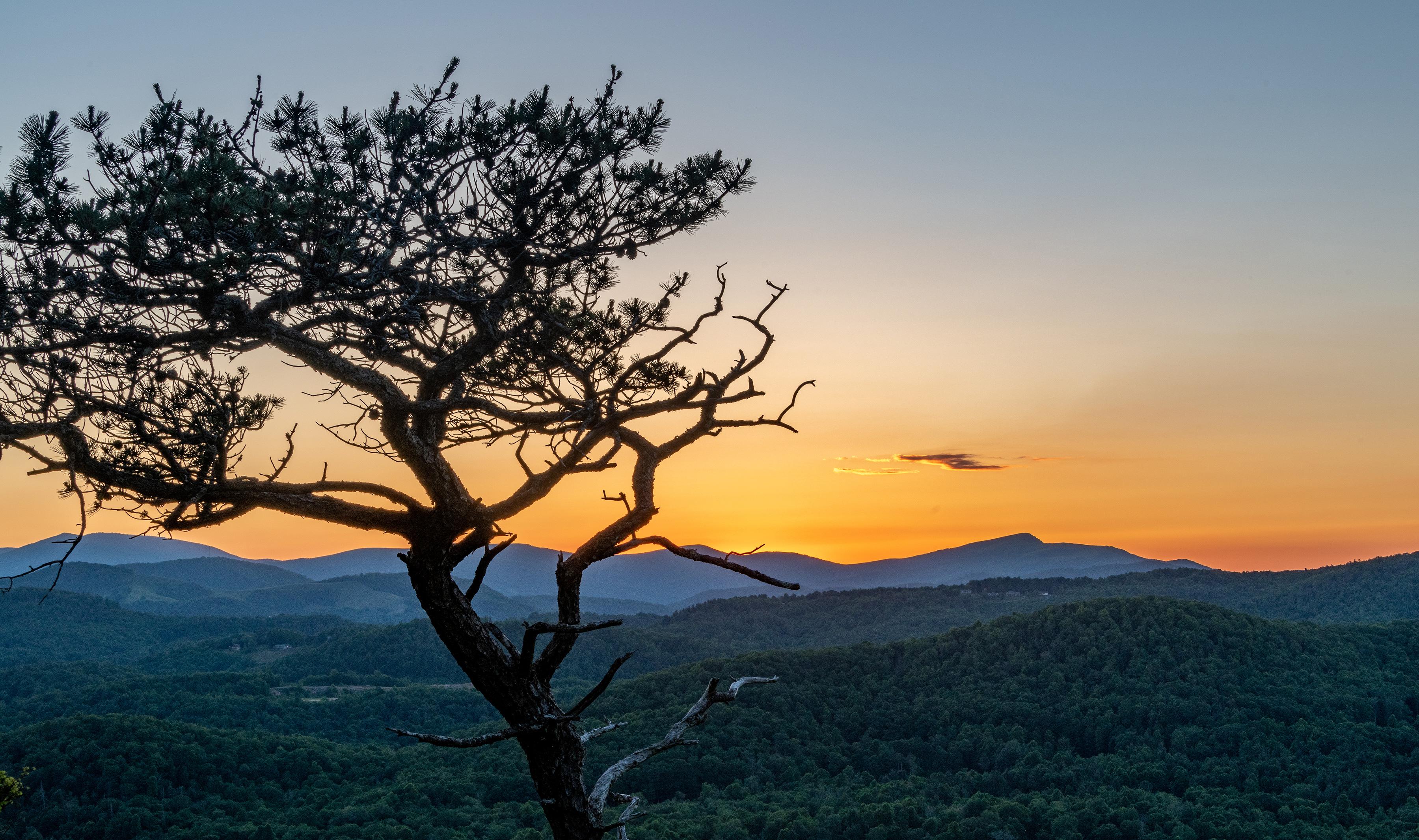
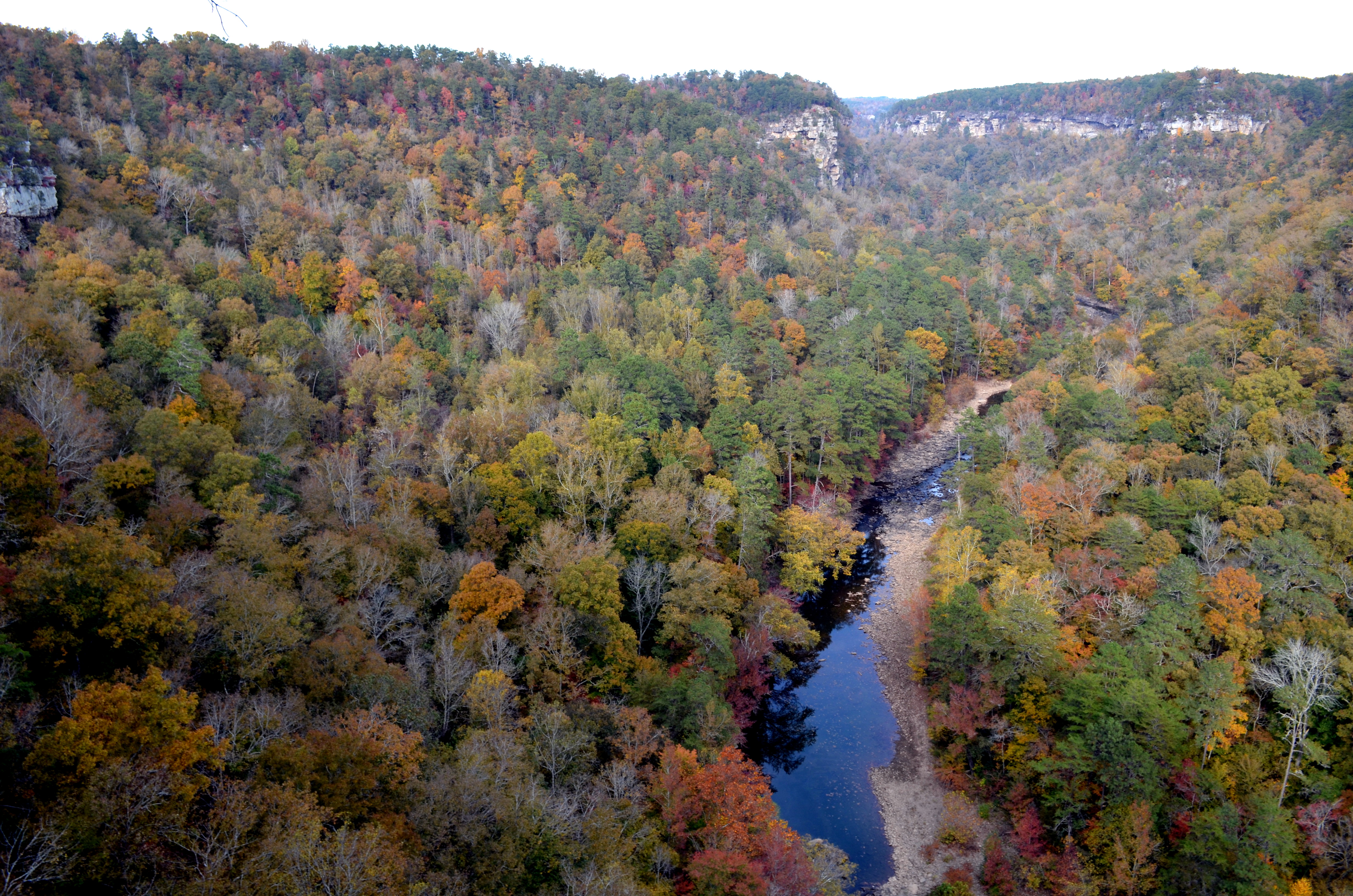
Shenandoah National Park is one of the better parks for a low-mileage day—if you plan around the fact that it stretches roughly 100 miles along Virginia’s Blue Ridge Mountains. The practical move is not to “see the whole park.” It is to choose one section, use the park’s scenic-drive and developed-area options as your backbone, then add a few viewpoints or short walks only when the terrain, weather, and your energy level line up. That approach leaves room for the real point of a relaxed Shenandoah visit: long overlooks, wooded pauses, wildflowers in season, and the changing light across the valleys.
Build the day around one entrance and one park section
Shenandoah has four entrances: Front Royal in the north, Thornton Gap, Swift Run Gap, and Rockfish Gap in the south. Because the park is long rather than compact, entering at one gate and trying to reach stops far away can turn an easy outing into a windshield-heavy day. Pick the entrance that best fits your lodging or approach route, then let your furthest planned stop determine when to turn around.
The park is in the mountains west of Washington, D.C., and the NPS notes that GPS can be unreliable for navigating to the park. Before leaving, use the official Shenandoah National Park website to confirm the entrance you intend to use, current road information, and the navigation instructions appropriate for that approach.
Quick take
For an easier Shenandoah day, choose a single entrance, plan one main scenic-drive segment, and treat every walk as optional. A shorter list with time to sit at overlooks is usually more satisfying than checking off stops spread across the park.
Think in “stop clusters,” not must-see lists
A useful cluster has a few scenic pull-offs or developed-area stops close enough together that you can decide in the moment whether to get out. That matters when clouds move in, a passenger needs a break, or a short path turns out to be steeper than expected. Check the official NPS map and current conditions before your trip, then identify several possible stops rather than locking yourself into every one.
- Start stop: Choose an early overlook or developed area where everyone can get oriented, use available facilities if open, and decide whether the day feels more like driving, strolling, or both.
- Middle stop: Plan one short-walk candidate with a clear turnaround point. Verify its distance, elevation profile, surface, and any closures on the official NPS page.
- Rest stop: Reserve time for an unhurried viewpoint, picnic, or car break instead of using every minute for movement.
- Turnaround point: Set it before you start. In a long linear park, this is what protects your energy and avoids a rushed drive back.
What “easy” means on a mountain park walk
Short does not automatically mean low-effort in Shenandoah. A path can be brief yet still involve a steep descent, loose rock, roots, stairs, or a climb back to the parking area. The best planning habit is to assess the return trip first: if the first half goes noticeably downhill, assume the second half may be the harder part.
When comparing a viewpoint walk, waterfall approach, or nature-style path on the official NPS site, look beyond mileage. Trail descriptions and maps can help you distinguish a genuinely casual stroll from a short but demanding outing.
Use this five-part trail screen
- Grade: Look for whether the route climbs steadily, descends sharply, or has rolling terrain. Even a moderate incline can feel substantial at elevation, in humidity, or after a long drive.
- Surface: Check whether the route is paved, packed, rocky, root-covered, muddy after rain, or uneven. Surface often matters more than distance for walkers using canes, strollers, mobility devices, or less-supportive footwear.
- Stairs: Waterfall and overlook approaches sometimes use steps to manage steep ground. Verify stair details rather than assuming a signed viewpoint is step-free.
- Shade: Forest cover can make a warm day more comfortable, but it can also keep rocks, leaves, ice, and wet ground slick longer. Exposed overlooks may feel much hotter or windier.
- Elevation and location: The NPS advises that the mountain is usually about 10°F cooler than the valley below, but conditions vary greatly across a park that spans about 100 miles. Bring a layer even when the valley forecast looks mild.
Quick take
An easy-going group does well with a simple rule: stop at the first scenic point that feels good, not the furthest point on the map. Save enough energy for the walk back, the drive out, and an unplanned weather change.
Viewpoints are the high-reward, low-commitment choice
Scenic pull-offs and overlooks are the most efficient way to experience Shenandoah’s big landscape without committing to a long hike. They work especially well for mixed-ability groups because each person can choose how much time to spend outside the vehicle. One traveler may take photos from near the parking area while another follows a short signed path farther along, provided that route has been evaluated first.
Use viewpoints as pauses rather than photo sprints. On clear days, the valleys and ridges invite a longer look; on hazy, rainy, or foggy days, a nearby forest stop may be more rewarding than chasing a distant panorama. If visibility is poor, do not assume the day is wasted—Shenandoah’s wooded hollows, rain-darkened vegetation, and seasonal wildflowers can make a slower stop worthwhile.
Plan rest before anyone needs it
A low-effort itinerary is really a pacing itinerary. Build in a seated break after every couple of stops, keep water within reach in the car, and avoid making the longest walk the last thing on the schedule. Summer can be hot and humid even though the mountain is cooler than the valley, while winter can bring snow and ice; in both cases, the margin between “pleasant” and “done for the day” can be small.
- Footwear: Choose closed-toe shoes with traction for any unpaved walk, even if the walk is short.
- Layers: Bring a light insulating or rain layer. Shenandoah’s distinct seasons and changing mountain weather make a single-temperature outfit a gamble.
- Seating: If standing at overlooks is tiring, pack a compact camp chair or plan to use only locations where you can comfortably pause near your vehicle. Verify what is permitted where you plan to stop.
- Food and water: Carry your own rather than depending on a particular service location; confirm current facilities and concessions through NPS before departure.
Accessibility: verify details, don’t rely on labels
Accessibility is route-specific, not park-wide. A developed area may have one level surface and another uneven path nearby; a viewpoint may be close to parking but still have a curb, slope, or surface change. Do not label a trail, overlook, restroom, or facility accessible based on a general map symbol, an older blog post, or a photo.
Before traveling, consult the official NPS Shenandoah accessibility information and current conditions. Look for details relevant to your group: parking configuration, route width and surface, slope, stairs, restroom availability, service-animal guidance, temporary construction, and whether weather has affected access. If a detail would determine whether you can participate, contact the park directly rather than making a same-day assumption.
A relaxed half-day Shenandoah template
This is intentionally a framework rather than a named itinerary, because road status, weather, and facility availability can change. It works from whichever of the four entrances best suits your day.
- Arrive early or at a quieter off-peak time: Enter with a downloaded or printed official map and a preselected first overlook or developed-area stop.
- Drive a modest section: Stop at one or two viewpoints, allowing 15 to 25 minutes at each rather than treating them as quick pullovers.
- Choose one short walk: Only proceed after checking the posted information and confirming that the grade, footing, stairs, and weather suit the group.
- Take a real break: Eat, hydrate, use available facilities if open, and reassess energy before adding another stop.
- Finish with a final scenic pause: Turn back while the day still feels easy. Shenandoah’s views reward lingering more than rushing.
Spring’s rain and wildflowers, summer’s lush forest and humidity, fall’s cooler temperatures and foliage, and winter’s potential snow and ice all change what “easy” looks like. The durable strategy is the same in every season: use the official NPS forecast and conditions page, select a manageable section of Shenandoah National Park, and let the mountain set the pace.
Before you go
- Review official alerts, closures, hours, and reservation requirements.
- Allow extra travel time and keep an alternate plan.
- Use official NPS information as the final authority.
Sources
- Shenandoah National Park — official National Park Service site — National Park Service, accessed 2026-10-05
Continue planning Shenandoah
Learn more about Shenandoah and find other helpful guides, trails, and trip information in the ParkQwest guide.
ParkQwest is a QwestLyfe Community.
QwestLyfe helps you track your lifelong bucket lists, collections, recipes, and the places you've been. Document your experiences, add notes and pictures, and share them with your friends — and the world.